The Ground to be covered
County Meath has a little over 1,600 townlands. It is a vast area. As some townlands are totally urban and are within towns and villages they are outside the remit of this project. The Meath Field Names Project estimated that 1,400 townlands was its target area.
Surveying Success
As of December 2012, approximately 850 townlands in Meath have been surveyed by the Meath Field Names Project (making a return of 60% of the 1,400 estimated rural townlands in Meath). There are records for just over 24,700 fields on the database – no mean feat!
Most of these 850 townlands have been fully surveyed. However, there is a percentage of these 850 townlands not fully complete. Of course, this does mean that 40% of the rural townlands in Meath have not been surveyed. If more resources become available in the future it may be possible to complete the work.
As time went on it became clear that the project would not have the volunteer or resource capacity to survey all the rural townlands in Meath. A strategy was put in place to ensure that every vector map had a good representative sample of townlands surveyed and no area was totally excluded. The project made a specially targeted effort in some areas that were not doing so well. This involved approaching local community leaders, organising some local community meetings and making direct approaches to some individuals. This yielded good results.
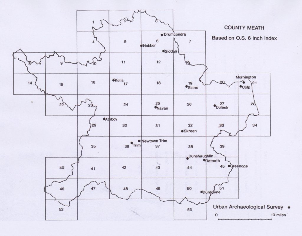
As mentioned previously 53 vector grid maps cover county Meath. An examination of the database reveals that maps 1 to 26 account for about 65% of the fields on the database while the remaining 35% is accounted for by maps 27 to 53. What this tells us is that there has been a stronger rate of return for the northern half of the County. While there are several reasons for this, one strong reason is that family farming and land ownership staying in the same family for several generations is somewhat stronger in the north of the County.
Some areas in the south of the county have become more urbanised. Land has changed hands more and, in some cases, fields near towns can be owned by companies, developers or even NAMA, the National Asset Management Agency. In some cases people did not know who owned fields that adjoined their own. This made completing the field names survey quite difficult in certain areas. Some areas around Dunboyne; south of Ashbourne; near Clonee and near Maynooth were difficult terrain for the Meath Field Names Project. It goes without saying that this is only the case for pockets of the south of the county. There are still many, many strong farming communities all around south Meath.
In the early stages of the project the magic figure of a total of 100,000 fields in Meath was frequently mentioned. The work of the project indicates that a maximum total of 50,000 would seem more likely. However, as people know and as was often highlighted in the survey, a huge number of field amalgamations have taken place all around the county over the years, especially since the 1960s and 70s. This has been to accommodate modern farming practices and larger machinery. There may have been more fields in Meath at one time but today many fields have been merged and there are far less. One of the many reasons for gathering the field names was because old field names were being lost when fields were put together and valuable history was vanishing.
A question that any browser in Meath may want answered is :-
‘Has my townland been surveyed?’
To find out the answer to this, firstly you need to know what O.S. Grid Map your townland might be on. Taking a look at the County Grid map will help with this process.
Then have a look at this linked document:
Townlands in Meath per OS Grid Map(Word Document)
Townlands in Meath per OS Grid Map(PDF Document)
This lists all the townlands on each of the maps and will enable you to establish what Grid Map number your townland is on. Some townlands span the borders of two or more maps, in this case the townland is coded to the map that the majority of the townland is on.
Now you know which Map, the townland you are interested is on.
Click on this link –
Townlands surveyed – Word table(Word Document)
Townlands surveyed – Word table(PDF Document)
This will bring you through to a document that lists the townlands surveyed on each Map in townland alphabetical order. The person who has been recorded as the main surveyor of this townland is also listed, it is likely that many other people will have assisted them in their work.
If your townland is listed here it has been partially or fully surveyed for the Meath Field Names Project. If your townland is not listed here, unfortunately it has not yet been surveyed for the Meath Field Names Project.