Project Database
Early on in the project planning phase, Amanda O’Brien and her colleagues in the spatial services section of Meath County Council had advised the project on the mapping and the design of the survey sheet.
They also designed a template for a computerised database entry system using Microsoft Access. The field name data gathered could be entered into this database as it was sent in. This database was tweaked a little before the data entry began, but the core structure of this database as originally designed has remained.
The co-ordinator spent extra time finalising the design of the database in such a way as to make it user friendly, easy to extract information from and to minimise errors on data entry. This project involved a huge amount of data entry.
Each field has a unique identifier. This is essential to know exactly which field in a townland has a particular name. Volunteers were trained to number the fields within each townland using a system explained at the training sessions. This system was critical to giving fields unique identifiers. As well as returning the survey report sheets the volunteers also returned the map section that they had manually numbered. If the numbered map got lost or mislaid there was a problem as the field names could not then be matched with the correct numbered fields.
At the end of Summer 2010 the first completed townlands were returned. Data entry onto the Meath Field Names Database began in September 2010. This data entry continued over the next two years until September 2012 when the project finished collecting field names for this phase of the project.
This system has worked well. It is possible to generate a wide range of queries and reports from the database. The database in itself is an invaluable end product and is a versatile way to extract and manipulate the information gathered.
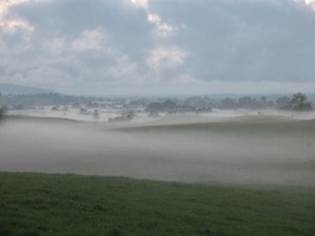
View looking west from Oldcastle at dusk (photo by Martin Devin)
Digital Mapping
It was always envisaged that along with or after data entry onto the Microsoft Access database initial work would be done on linking the database to maps using Mapinfo mapping software. This software was chosen as it is the system used by Meath County Council and would mean that the project data would be compatible with other Meath mapping derived data.
This work will give the project an additional visual dimension. At a glance it will be possible to see features, field names and trends on maps and how they are spread around the county geographically.
The vision was that on completion of the project, a person would be able to click on screen on a townland in Meath and then click on an individual field within that townland and the full details from the survey sheet would pop up before them.
There was an awareness that it might be necessary to work through a process of digitising the fields to make the mapping side of the project work effectively. To try to minimise the additional work with this stage of the project, it was decided to consult with various agencies to establish if any of them might have data sets already available with fields in Meath already digitised. The project consulted with Ordnance Survey Ireland, The Property Registration Authority (formerly Land Registry) and the Department of Agriculture.
After considerable research, it was found that none of these bodies had a suitable dataset that they were prepared to make available to Meath Field Names Project.
In summer 2011 the Meath Field Names project made a decision to begin work on digitising the fields as polygons. Two Geographic Information Systems Masters students from NUI Maynooth did voluntary work experience with the project and over a period of time about 200 townlands were digitised. Although this was valuable progress it became clear that it would not be realistic to complete digitising all the townlands surveyed with voluntary labour. Following consultation, Meath Partnership indicated that they would consider a grant application from Meath Field Names Project for assistance if this job of work was contracted out.
A tender notice was drafted and placed on the e-tenders website in May 2012. Following this process Mallon Technology based in Cookstown, county Tyrone scored highest and were awarded the tender. Mallon began work in Summer 2012 and completed digitising all the townlands in Autumn 2012.
This means it has been made possible to see the reports from the Database linked to the Meath maps. To give a practical example it is possible to see a map of a townland with all the field names marked in on the fields.
It will also be possible to link up the field names data with other mapping data for county Meath such as the field monuments dataset.